
- This event has passed.
Digital Discussion: Making Modern Maps – Members Only

ADDITIONAL INFORMATION
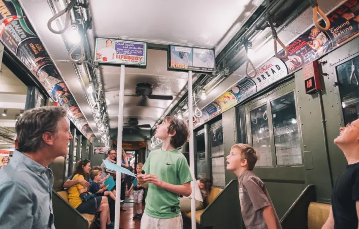
Transportation maps for the New York region evolved gradually — helping riders navigate the region and marketing mass transit as a modern, desirable choice for commuters. Even as the system grew more complex after the consolidation of the private and public subway systems in 1940, mapmakers experimented with different styles and colors to simplify the most significant information for quick comprehension.
Join Curator Kathleen Hulser for a digital discussion on the journey to create a modern transportation map for New York. Learn how innovations in map design and communications in the 1950s and beyond enabled transportation maps to take on a brighter, cleaner look.
Limited spots available! RSVP NOW!
This digital discussion is a special perk of New York Transit Museum membership! Not a member? Join now to enjoy exclusive programs and support the Transit Museum!
Please Note: This discussion will take place online. Upon registration, all participants will receive a confirmation e-mail with instructions on how to participate. We encourage you to download the Zoom app in advance for the best user experience.
Thank you for supporting the Transit Museum!
Support the museum
Fuel our mission to preserve transit history, create inspiring exhibits, and offer programs for learners of all ages.
Plan your visit
Experience New York’s transit story firsthand—explore historic trains, unique exhibitions, and special events at the Museum.